HURICANE
Off The Huricane Path
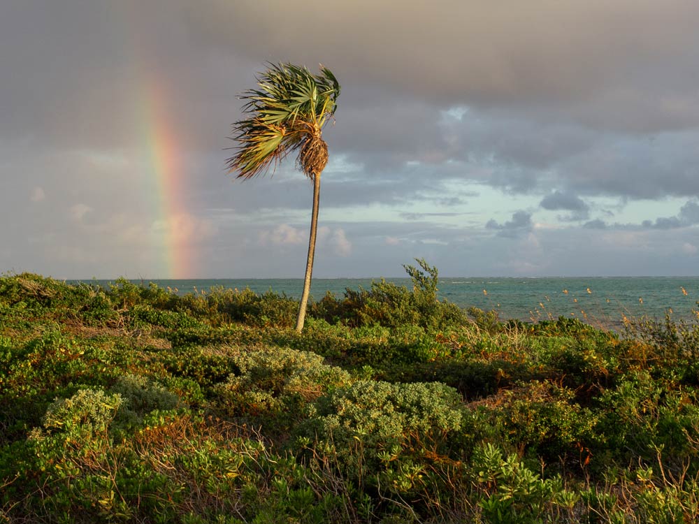
Over the past 100 years, Mayaguana and Inagua, located in the southeastern Bahamas, have experienced the fewest Category 2 and above hurricanes.
Their geographic positions, being farther south and east, place them outside the typical paths of many Atlantic hurricanes, which often track further north.


CLIMATE
Hurricane Activity Overview
- Mayaguana: This island has historically seen fewer direct hits from major hurricanes. Its remote location contributes to its lower exposure.
- Inagua: Similarly, Inagua’s position in the southeastern Bahamas has resulted in fewer encounters with Category 2 or higher hurricanes.
In contrast, northern islands like Abaco and Grand Bahama have been more frequently impacted by intense hurricanes. For instance, Abaco has recorded numerous Category 2 and above hurricanes over the past century, including the devastating Hurricane Dorian in 2019.
PROTECTION
Geographic Influence
The relative protection of Mayaguana and Inagua can be attributed to their southern locations, which are less frequently in the direct paths of Atlantic hurricanes.
- Mayaguana lies in the southeastern edge of the Bahamas island chain, in the northeastern Caribbean. It’s outside the main hurricane development zone (called the Main Development Region, or MDR) where many storms form off the coast of Africa and intensify as they move westward.
- Many hurricanes tend to pass south of Mayaguana (over Hispaniola or Jamaica) or north, sparing the islands from a direct hit more often than not.So while Mayaguana can still get hurricanes, its positioning and geography help it avoid them more often than other Caribbean hotspots. Plus, the lack of big hills and mountains keeps things on the drier side.


Sunshine
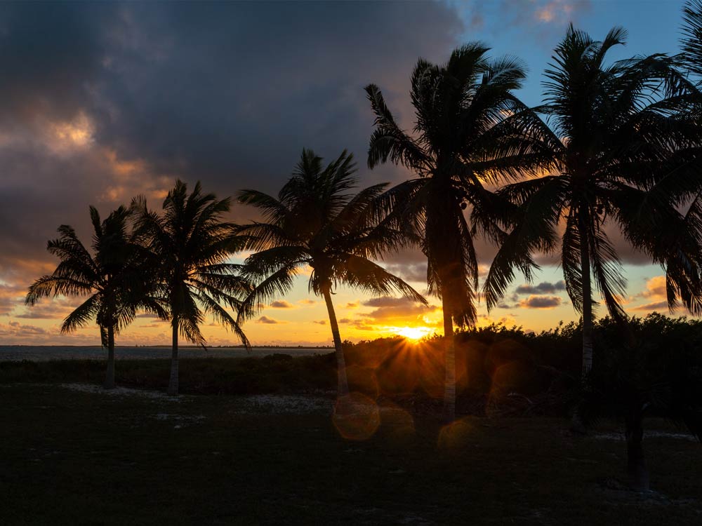
So why does Providenciales and Mayaguana have so much more sunshine than the rest of the Caribbean?
- Low Elevation & Flat Terrain:
- These islands lack the mountainous terrain that characterize, Cuba, Haiti and the Dominican Republic. — Without mountains to force moist air to rise and cool, which is how you usually get lots of rain in tropical places (called orographic rainfall).
- These islands lack the mountainous terrain that characterize, Cuba, Haiti and the Dominican Republic. — Without mountains to force moist air to rise and cool, which is how you usually get lots of rain in tropical places (called orographic rainfall).
- Drier Trade Winds:
- Mayaguana is in a part of the Caribbean where the trade winds are more stable and dry, especially in winter. They don’t pick up as much moisture compared to areas closer to the equator.
- Mayaguana is in a part of the Caribbean where the trade winds are more stable and dry, especially in winter. They don’t pick up as much moisture compared to areas closer to the equator.
- Climate Zone:
- It sits in a semi-arid to tropical savanna climate, so while it’s warm year-round, it doesn’t have the same wet, jungle-like environment as places further south.

